Scout
your next climb in Idaho
|
Scout
your next climb in Idaho
|
|
| Big Black Dome - 11,353 feet |
|
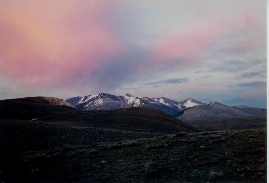
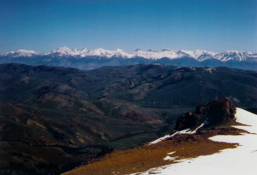
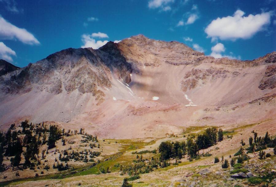
Big Black Dome's east ridge is class 2 Photos by Tad Schafer Big Black Dome is the northernmost summit along the western edge of Copper Basin. Access to the east ridge is Copper Basin Road, which leaves Trail Creek Road 22 miles east of Ketchum. Upon entering Copper Basin, take the first junction with the Copper Basin loop road and head south for a few miles to Ramey Creek Road (FS-472). In May, because of patches of snow, we parked at the junction of the Copper Basin Loop road and FS-472. Follow FS-472 until it junctions with FST-059. A 4wd is advised. Follow FST-059 northwest toward the east ridge of Big Black Dome, cross the fence, and turn due east following the fence line. At this point we watched 20 deer bound across the fence in front of us. Continue up the trail leaving it to stay on the east ridge. We donned our snowshoes when the snow became consistent. The snow was quite soft in places. Continue up the east ridge through trees, passing tree line at a large rock outcropping. The final push to the summit is an obvious line. On top observe the White Knobs and Lost Rivers to the east, Angel's Perch to the west, and Pyramid and Standhope to the south.
|


