| 
Fellfield Mountain. Rick
Baugher photo.
| North of Lem
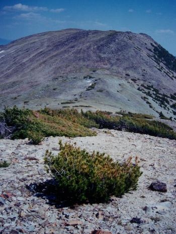
Fellfield Mountain el 10225' is part of the northernmost cluster of 10000' summits in the Lemhi Range. It is located one mile east of the main crest and overlooks Hayden Basin. Once you get to Basin Lake, the approach to this summit is reasonable.
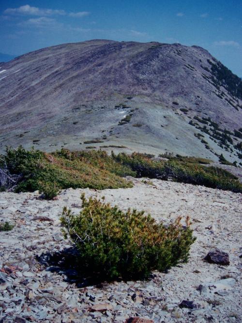
One characteristic of the northern Lemhi Range is the presence of
felsenmeer (sea of rocks). A fellfield is smaller in scale, a field of
shattered angular boulders as a result of frost action. This view looks
east across the boulders to Fellfield Mountain on 7/11/99. |
| 
View NE from Steel Head. Rick
Baugher photo.
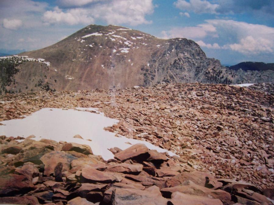
| Steel Head el 10222' is on the western side of the Lemhi Range and
rises 5700' out of the the Salmon River. On 6/24/05 I found no sign of
prior summit visitation. View NE from Steel Head to 10720' Tendoy Peak.
|
| 
View SE from Steel Head. Rick
Baugher photo.
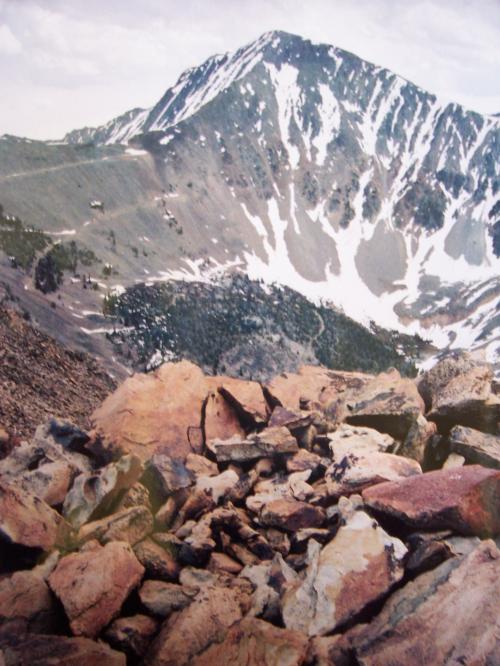
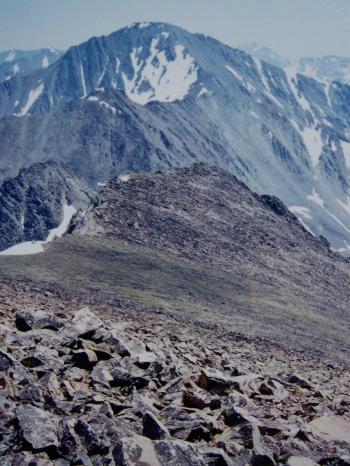
| From the summit of Steel Head this view looks SE to Lem Peak el
10985'. You can see the trace of a jeep mining trail in the upper reach
of Allison Creek, but the access to Allison Creek is strictly private.
This makes a huge swath of country very remote. My trek to Steel Head
started with a ford at McKim Creek near some vacation shacks dubiously
called 'Crascade Acres'. From here things went downhill- stinging
nettle, rattlesnakes, an earthquake tremor. Finally, lightning drove me
off the summit.
|
| 
View SE from Steel Head. Rick
Baugher photo.
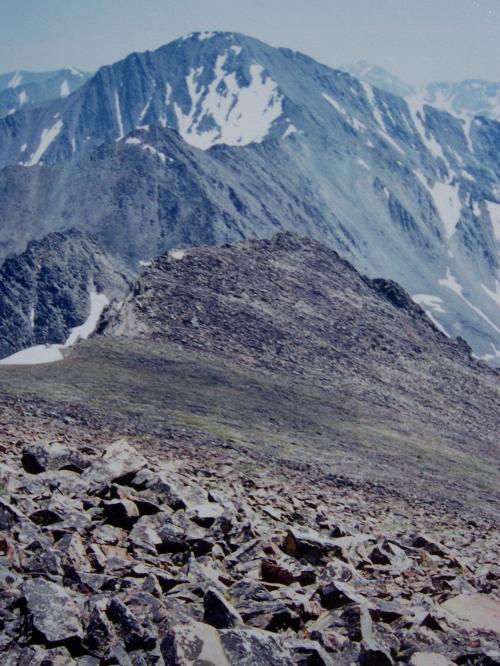
| From the summit of Tendoy Peak the view is SE along the wild northern
Lemhi crest to Lem Peak on 7/11/99. Tendoy Peak was reached by
surveyors in 1956. Lem was a USGS triangulation station occupied by
T.M. Bannon in 1912. May Mountain (station Hi) is in the distance
behind the right slope of Lem.
Information and photos by
Rick Baugher
April
5, 2008
|