|
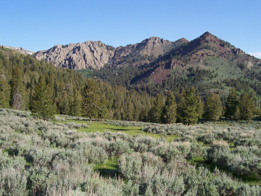
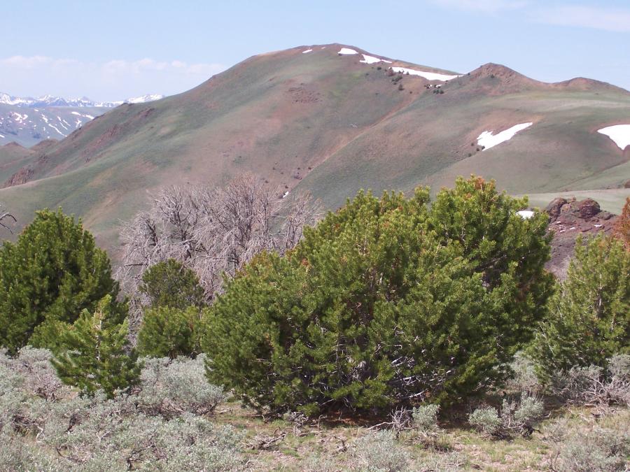
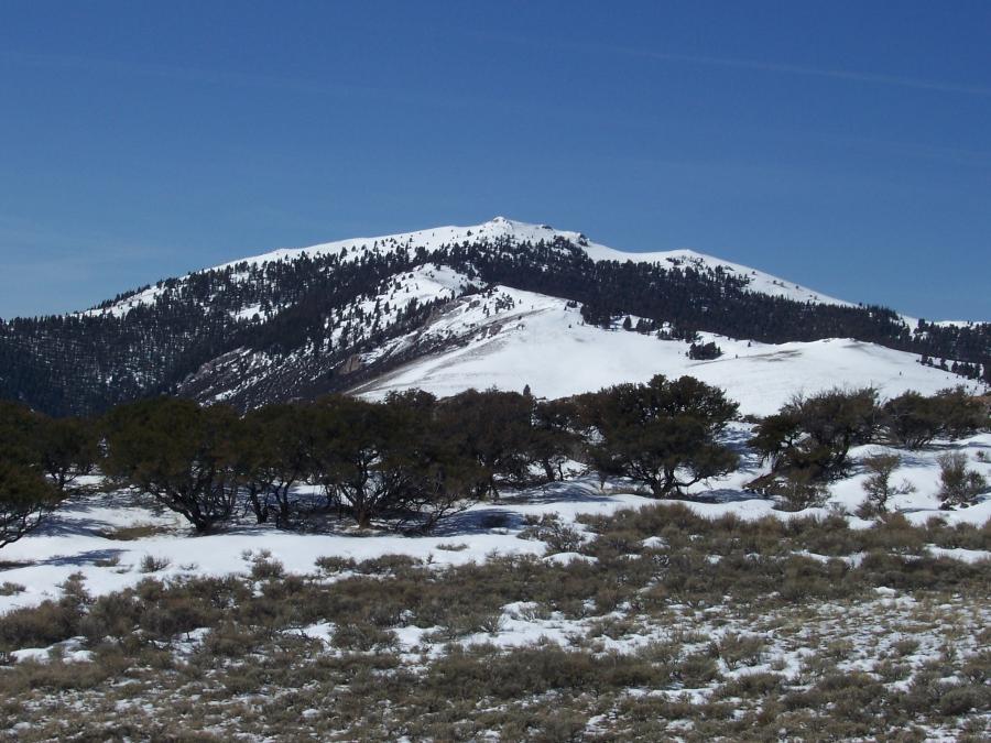
Until recently I've had trouble compartmentalizing a group of 20 some central Idaho peaks ranging in elevation from 7500' to 10000'. These mostly sagebrush mountains lie in the rain shadow NE of the Boulder Mountains and are overshadowed by the Lost River Range further to the east. It is my contention that these mountains, geographically and physiographically, form a separate mountain group. The name SHADOW RANGE is proposed.
The Shadow Range has a diamond shaped configuration. The southern part of the diamond is defined by North Fork Big Lost River. Proceeding north, the range boundary encompasses Herd Peak, goes down Herd Creek, and continues down East Fork Salmon River to the confluence of the main Salmon. From the Salmon River at Round Valley (Challis area), the range front parallels Highway 93 over Willow Creek Summit, then turns SW at Thousand Springs Valley to meet up again with Big Lost River.
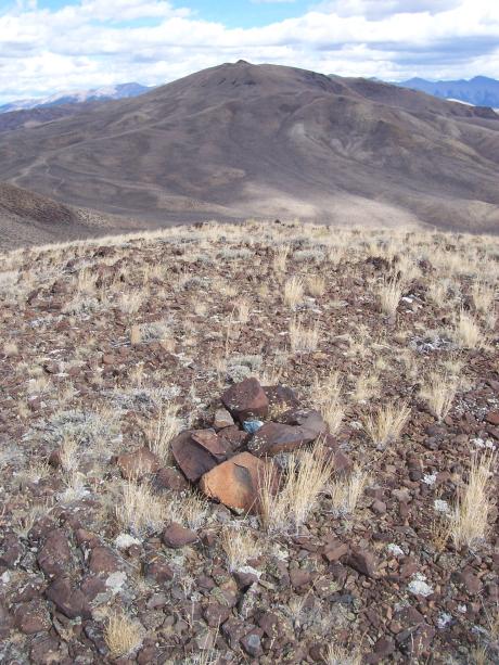
Most of the Shadow Range is on BLM land and is traversed by two dirt roads- Spar Canyon (good), and Walker Way (not so good). The Shadow Range is perhaps most recognized as free range cattle country, but it is also key habitat for wild horses. The open terrain is suitable for three season hiking. The scenic value and solitude are high.
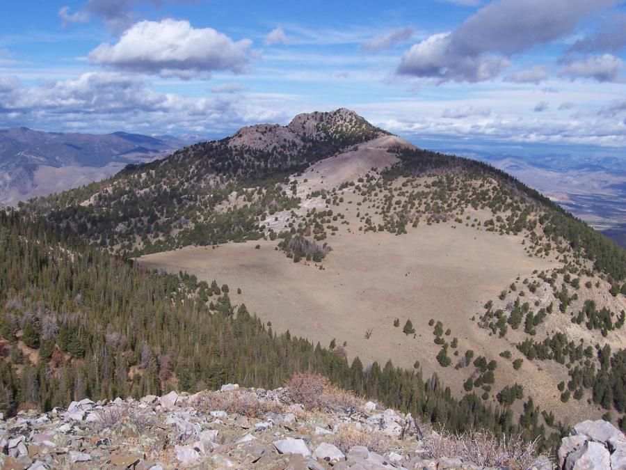
By elevation, here is a Shadow Range peak list. The symbol (B) signifies the summit was occupied for triangulation by USGS Topographical Engineer TM Bannon ca 1914. Bannon didn't use a specific name for this range, other than to identify it as the main divide between Big Lost River and Salmon River. With the possible exception of Lone Pine Peak, which is visited by an occasional Challis local, this is not an area frequented by peak baggers. In fact, more than a couple of summits were found free of human imprint. For this reason I have taken the liberty to use my own peak names.
Jerry Peak 10010' (B), range high point Repose Mountain 8966' Little Bradshaw 7891'
West Jerry 9977' Spring Basin Hill 8933' Gossi 7648' (B)
Herd Peak 9860' (B) Garden Creek Point 8700' Birdie 7459' (B)
Lone Pine Peak 9658' (B) Road Canyon Peak 8686' (B)
Sage Creek Peak 9542' Pinto Peak 8680' ,,,and a few others
Herd Lake Peak 9534' Pecks Head 8454'
Lone Pine South Peak 9391' Broken Wagon Peak 8288'
Anderson Peak 9339' (B) Cercocarpus Montanus 8256'
9251' S of Herd Lake Bradbury Peak 8250'
Horse Basin Hill 9018' Bradshaw Peak 8208'
|