| 
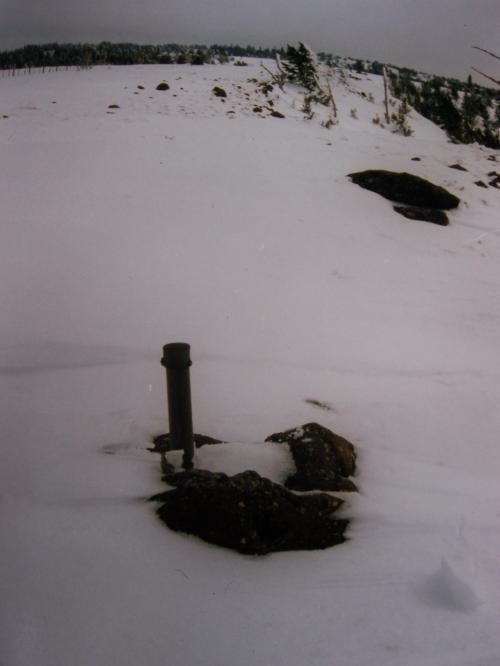
This summit view looks WNW into Montana toward the highest peaks in the Tendoy Mountains. Photo 10/18/97 by Rick Baugher
|
Here's one definition (mine) of the Tendoy Mountains. From Clark Canyon Reservoir, Montana, SE to Spencer, Idaho, the Tendoy Mountains parallel the west side of Interstate 15 for 50 miles. The Idaho section of this range would include peaks on and around the Continental Divide between Medicine Lodge (Bannack) Pass and Monida Pass.
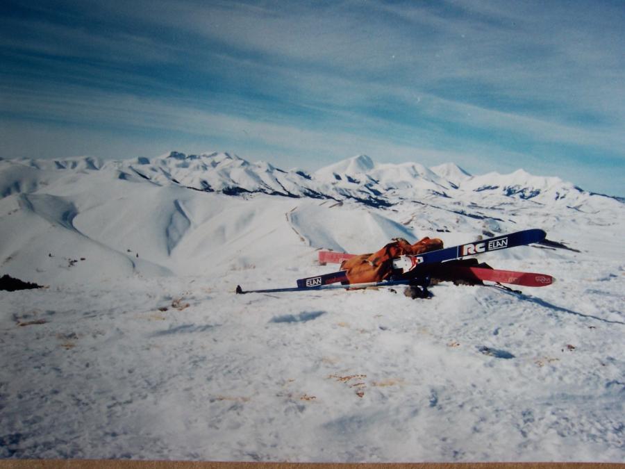
On 2/4/95 I skied Paul Peak el 8538' in Clark County, Idaho. This is at the southeastern end of the Tendoy Mountains. From the I-15 interchange at Humphrey, skied from the skeleton structure of the Humphrey schoolhouse west up Idaho Hollow. Used a red-yellow wax on my backcountry touring skis. Then, skinned up the long east ridge to the top of Paul Peak, about 7 miles in from the trailhead. Paul Peak is composed of egg shaped cobbles called Beaverhead Conglomerate. These rocks are of Paleozoic quartzite & limestone stock, which was eroded by fast flowing Mesozoic rivers, then elevated to the top of the continent by Cenozoic volcanic action. They've had a long, active life. As enchanting as these rocks are, I went to great pains to avoid them. The snow on Paul's east ridge was thin, and I wasn't interested in introducing my skis to Beaverhead Conglomerate.
The US Coast & Geodetic Survey used station Paul for triangulation in the 1950's. This summit view looks WNW into Montana toward the highest peaks in the Tendoy Mountains. Shown in the center is range highpoint Garfield Mountain el 10961', occupied for triangulation by TM Bannon, ca 1913. The smaller pointed peak on the far right is a big heap of sandstone boulders called East Lima (lie ma) Peak el 10388'. On 10/18/97 I found no evidence of prior summit visitation there. Any easy access to this peak is blocked by private land.
East of Monida Pass the Continental Divide gradually regains elevation in the Centennial Mountains. Little Table Mountain el 8600'+ looks deceptively gentle, but its north side has a pesky steep basalt palisade. In winter, if you don't have a snow machine, the only logical day outing approach is from the north, i.e. Montana side. On 3/9/96 I skied up the Price Creek drainage in 6" fresh snow. Carefully kicked a hundred steps up the palisade; and for the descent took a snow test, a deep breath, and skied the narrow chute.
|