Scout
your next climb in Idaho
|
Scout
your next climb in Idaho
|
|
| Castle Peak - Big Gully Route |
|
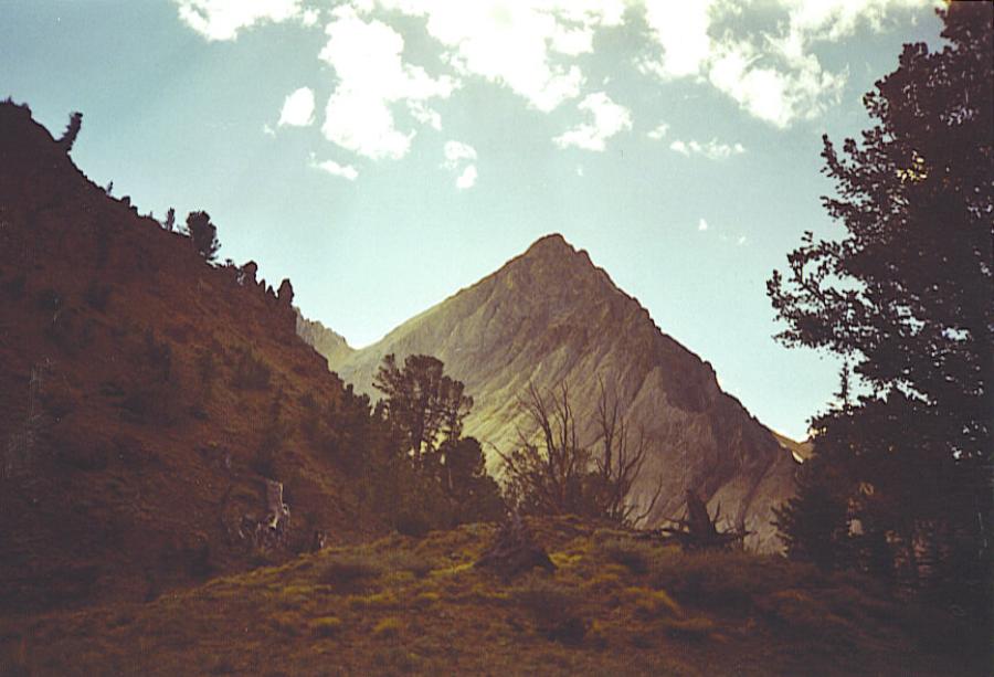
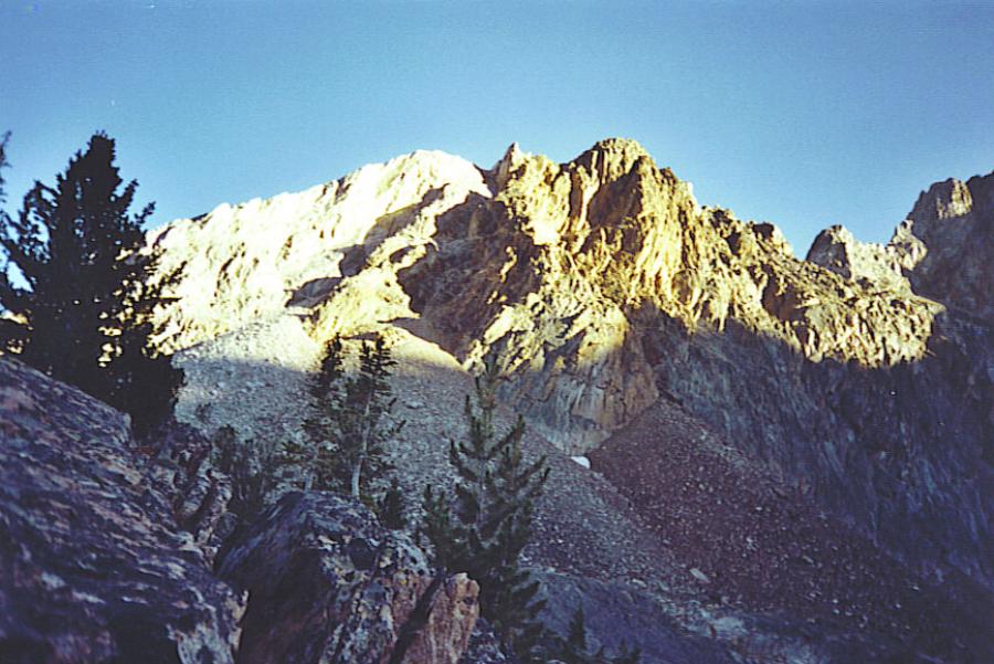
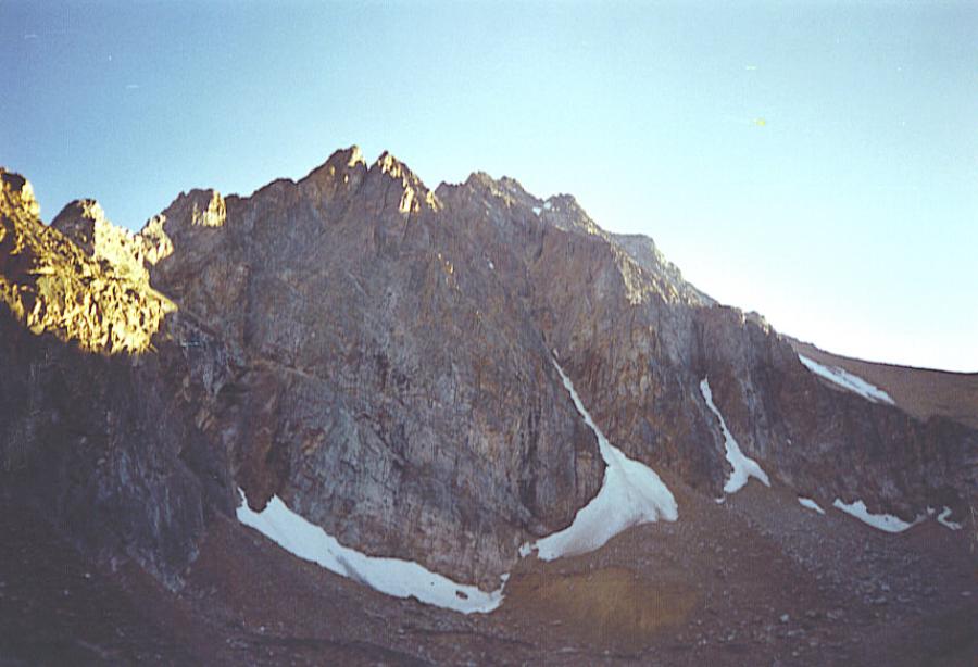
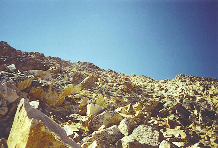
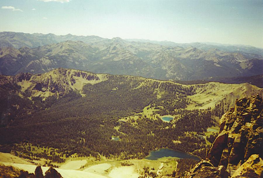
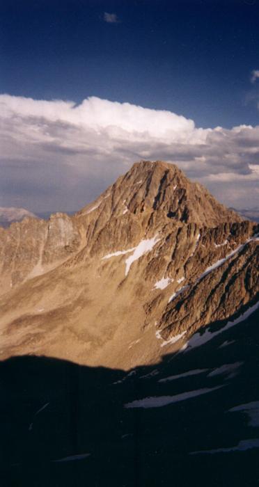
Big Gully Route, Class 3 Climbed on 8/10/03. This mountain is best done as an overnighter to 3 day trip. We drove to the Wickiup Creek trailhead at the base of the White Clouds (about a mile past the Little Boulder Creek Trailhead, parked next to a Forest Service Corral), and started hiking up Wickiup Creek on a very poorly marked trail. The trail became easier to find as we went along and then would completely disappear for a while, and would reappear again. Just remember that if you follow the creek bottom all the way up, your on the right track, Castle peak didn't become visible until about 5 miles into the hike. We hiked 7 miles all together to the base of Castle peak and the trail became harder to see. We then followed a trail through loose talus for about 1/2 miles to Lake 9,419 or Castle Lake, where we set up base camp. Other guide books say that this section is a cross country route, but you can follow a trail through the talus all the way to the lake. Castle lake is a beautiful alpine lake with Castle peak towering 3,000 feet above you. You're surrounded by many other peaks, and the fishing is good. We started the climb early Sunday morning. We started by climbing a headwall just west of Castle lake, staying to the right of the small waterfall, up to a ridge next to the famous serrate ridge. We turned left (south east) and walked up a gully. When this gully became steeper and we were close to the cliffs straight above us, we turned directly East and kept walking the gully until we came to a deep gorge in the middle of the mountain. We then turned right and scrambled up the "Big Gully" being careful not to knock down loose rock on each other, which was very easy to do. We climbed to the notch between the two peaks and then climbed up the ridge on the peak to your right for about 50 feet and then contoured on to the north face of the mountain. We walk across this face until you come to the third gully on your left and climb it to the highest summit. My dad and I did this route incorrectly and we ended up doing some dangerous class 5 climbing without ropes. Just follow the route and you will be fine. We stayed at the top for about half an hour eating and taking pictures and we then descended on the same route we came up, which was also pretty dangerous and scary. We walked out from Castle Lake on Monday on the Little Boulder Creek Trail for different views and a better trail, it added a few more miles but it was worth it.
|
|||||||