Scout
your next climb in Idaho
|
Scout
your next climb in Idaho
|
|
| Patterson Peak |
|
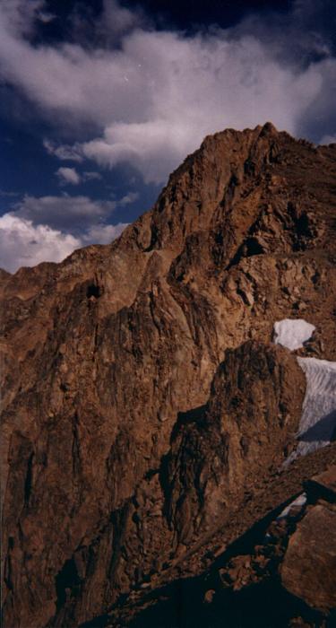
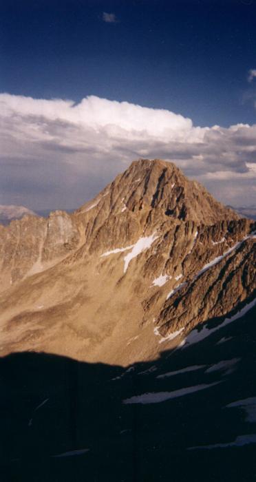
Patterson Peak sits at 10,872 feet, a prominent pyramid-shaped peak in the White Clouds. The western ridge route is a class 2. From the summit you will experience magnificent views of Ants Basin and Castle Peak. West Ridge The western ridge route is 3.2 miles from the trailhead to the top and gains 2,072 feet in elevation. The route is accessible from the Fourth of July Trailhead. Turn east onto the Fourth of July Creek road from Highway 75 eight miles south of Stanley and drive ten miles into the trailhead. The trail, FST-219, gains an easy 400 feet in 1.6 miles from the trailhead into Fourth of July Lake, a popular backpacking spot. Watch for large granite walls rising out of a meadow on your left as you approach the lake. At the lake, continue on the trail as you head left of the lake and begin ascending. Patterson Peak is the tallest summit directly to the east. As you pass a pond, the trail begins to climb steeply into a series of switchbacks. Follow the well-defined trail until you top out onto the ridge at 9920 feet. Take time to peer down into Ants Basin. From this point, leave the trail and follow the ridge in a southeasterly direction toward Patterson, staying on the west side of the ridge. Follow the ridge for 1.0 miles, passing a false summit. Patterson tops out at 10, 872 feet and is noted by 2 rock towers that you can walk through. A ledge presents itself as you split the rock towers and grand Castle Peak at 11, 815 feet, emerges to your right. Directly to the east is a divide separating Ants Basin and Born Lakes to the north and Quiet Lake and its basin to the south bordered by Castle. |