| 
Malad Range, photo by Rick Baugher.
|
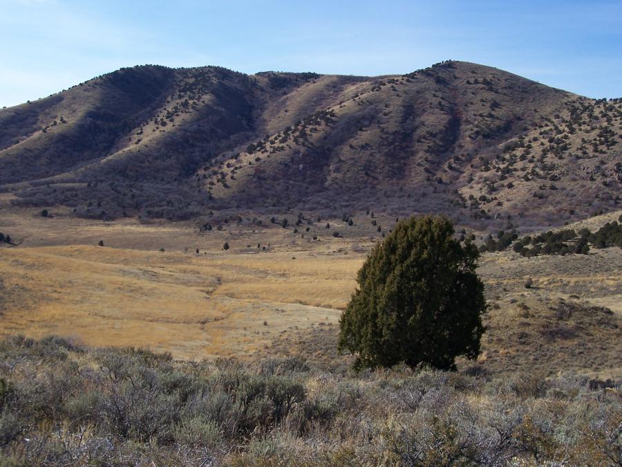
The Malad Range in the Great Basin of southern Idaho and northern Utah stretches for 22 miles along the eastern side of Interstate 15. About 15 miles of this north-south trending range are in Oneida County, Idaho. The 7 miles in Utah serve as the boundary between Cache County and Box Elder County. Although sparsely timbered, most of this mountain country is managed by Caribou National Forest. Range highpoint is Gunsight Peak el 8244' in Utah, a rather dizzying elevation considering the summit is perched 3800 precipitous feet above I-15.
At first blush the highest peak on the Idaho side of the Malad Range is Sheep Dip Mountain el 7057'. On closer inspection we may have to disqualify Sheep Dip. First, its prominence is only 267' - 33 feet shy for it to 'count' as a legitimate peak. Secondly, the Utah-Idaho state line is split at this point. If you believe the Hanson State Boundary Survey of 1896, Sheep Dip is in Utah. That would make 'Henderson' el 7005' (prom 945') the heir apparent as highest Idaho Malad.
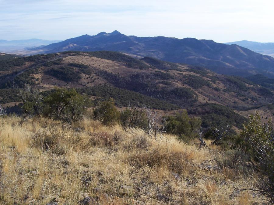
From the summit area of Henderson el 7005' this view looks south down the spine of the Malad Range, past Sheep Dip Mountain to Gunsight Peak in Utah. On this 11/9/09, after a brief battle with a clump of mountain mahogany, I was able to place a tiny cairn on this supposed 'highest Idaho Malad'.
|
| 
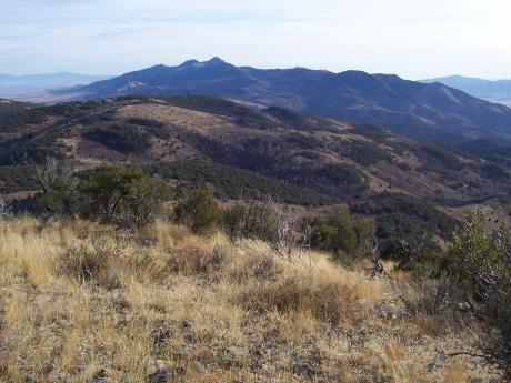
View W to Dalam, photo by Rick Baugher.
|
Vying for a first place tie would be the summit of Dalam at elevation 7002'. This is the name of a former USC&GS survey point. (Dalam is Malad spelled backwards).
View W to Dalam across the upper reach of Fourmile Canyon on 11/9/09. The 7002' high point is on the right.
However, Sheep Dip Mountain may have a reprieve as the highest Idaho Malad Range point. According to the Sonnenkalb State Boundary Survey of 1898, 7057' is in Idaho.
|
| 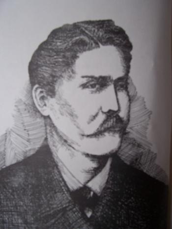
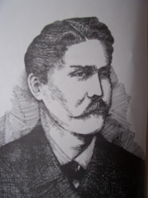
Oscar Sonnenkalb , photo by Rick Baugher.
| Oscar Sonnenkalb (1847-1928) grew up in Germany and immigrated to Idaho Territory in 1881. By profession he was a land surveyor, and thru 1914 had surveyed a large portion of eastern Idaho as Oneida/Bannock County Surveyor and contract surveyor for the US General Land Office. That he climbed some mountains in this area is certain. From Sonnenkalb's memoirs: "The magic spirit of the West, the great call: "Ho! For the West" caught me.... This occupation (surveying is) in itself very pleasant for a lover of a healthful outdoor life..... One part of my contract brought me into the mountain ranges along the boundaries between Idaho and Utah and Nevada, all of it in a rough, steep and rocky country...."
Oscar Sonnenkalb, Idaho surveyor and pioneer settler of Pocatello, Idaho. Sketch of Sonnenkalb by Stephen McGuinness, from a faded newspaper picture. The Sonnenkalb memoirs are housed at the Idaho State University Museum Archives, Pocatello.
Nov 10, 2009
|
|