A Trail Tail
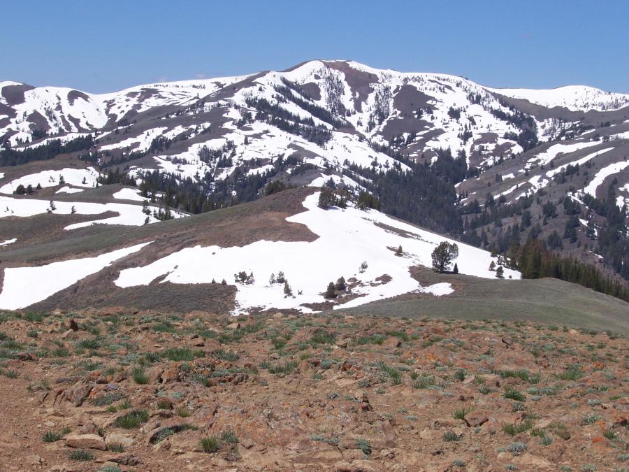 Upper Trail Creek drainage to West Trail Tail. Photo by Rick Baugher.
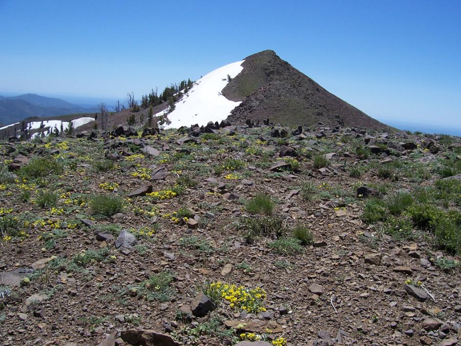 West Trail Tail. Photo by Rick Baugher.
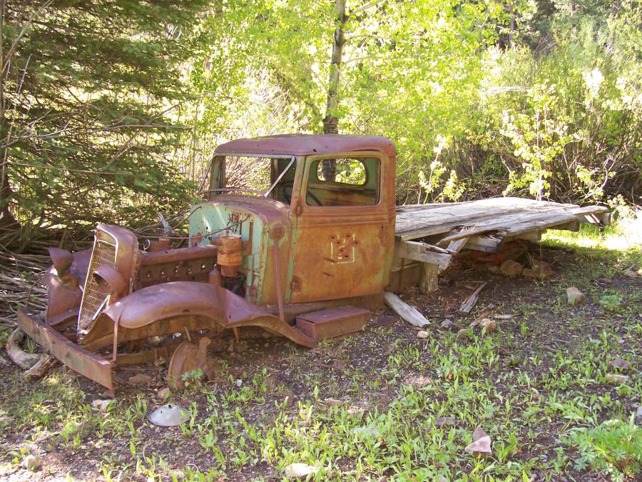 Photo by Rick Baugher.
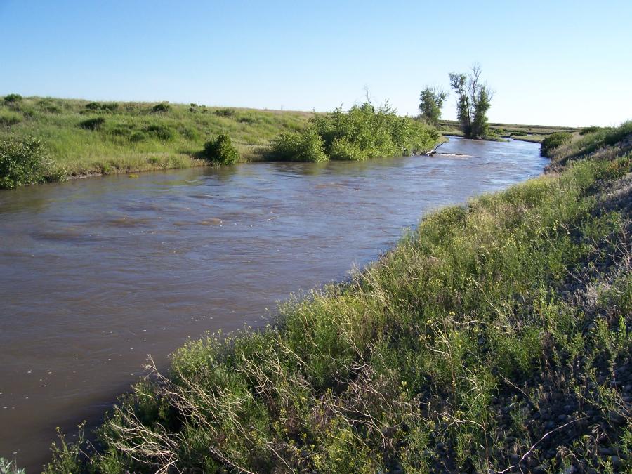 Big Lost River. Photo by Rick Baugher.
From the uncairned summit of East Trail Tail el 8739' this view on 5/27/09 looks west across the upper Trail Creek drainage to West Trail Tail. From Fish Creek Summit, East Trail Tail is a highly scenic ridge walk of the half day variety.
On the other hand, plan on a full day's march to get to West Trail Tail, one of the last peaks to be climbed on the Great Lost Divide. With a prominence of only 380'~, still, there are no higher southern Pioneer peaks downrange of here. On this 6/24/09 visit, no evidence was found to suggest any previous visitors had been here. Wildlife observed: deer, antelope, elk, kestrel, cony. The yellow ridgetop bloom is draba. The rock is andesite. Snake River Plain is hazy blue in the background.
End of the road.... International's 6 banger lorry could take punishment, but even so, how did it ever get this far up Antelope Creek? The hike in involved 3 "criver" crossings (criver= creek that flows like a wild river).
And, where does all that water go? Combine a big snowmelt with near record June rains and here's what you get. Big Lost River gushes down its normal dry bed into the desert. From the US 20/26 rest area a robust flow like this occurs maybe only once or twice a decade. At the sinks, near the south point of Lemhi Range, an ephemeral playa lake will form. Photo 6/24/09.