Middle Germania
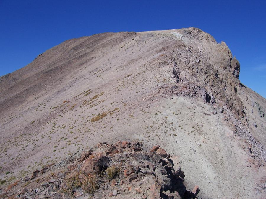 "Mittel Germania Peak" el. 10,605', photo by Rick Baugher
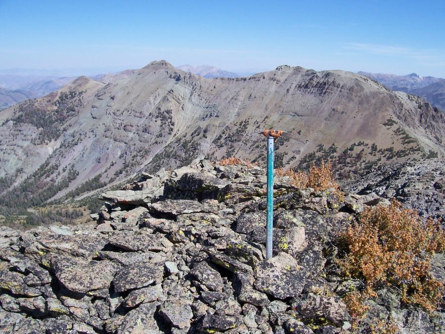 Summit of Alta Peak, photo by Rick Baugher
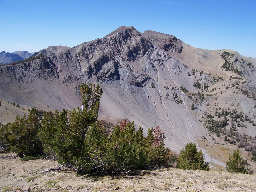 View West to Alta Peak, photo by Rick Baugher
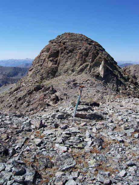 View west from elation 10,621', photo by Rick Baugher
Yes, to paraphrase the German national anthem, the middle part of the Germania Ridge does appear to be "over everything". This precipitous ridge that divides White Cloud Mountains to the north and Boulder Mountains to the south reaches a high point at "Mittel Germania Peak" el 10705'.
View W to Mittel Germania summit area. I came up East Fork Salmon River. At 7150' worked my way N then W up a stream course, sidehilling into a hanging alpine valley. Once in the seclusion of the pocket meadow again headed N then W to summit. On the lower north point of summit there was a stacked rock cairn. I put another cairn on the true high point.
From 10705' I followed the ridge S and W to 10640'+ "Alta Peak". This view from the summit of Alta Peak looks NE across the cirque of Alta Creek. 10705' is on left. Point 10673', toward the right, had a cairn. Someone must have felt this to be a separate peak, but it only carries 213' prominence. In any event, this point does stand out. Griswold and Perkins assigned it a spot elevation of 10617' on their 1895 Sawtooth 30 minute quad.
View W to Alta Peak, prominence 700'. Alta Creek was named for Alta Horton Ellis, daughter of US Forest Ranger William Horton. Horton worked out of the Pole Creek Ranger Station from 1908 to 1929. Alta Peak has a spot elevation of 10621' near its summit, and has been described as "Peak 10621", but....
From this peak I descended south. A dry intermittent stream bed was followed to avoid cliffs and dirt alleys. At the bottom of the runout, around 7900' on the West Fork East Fork Salmon River, there is a good trail which can be followed for 7 miles downstream to the Bowery trailhead.