Mount Idaho
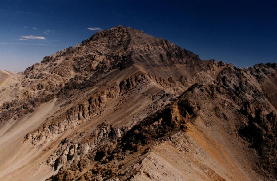 Mount Idaho from the west
 The basin southwest of Mount Idaho
 The view from our campsite down the slide debris. The Lost River Valley is in the distance.
 Point 11,060 west of Mt Idaho
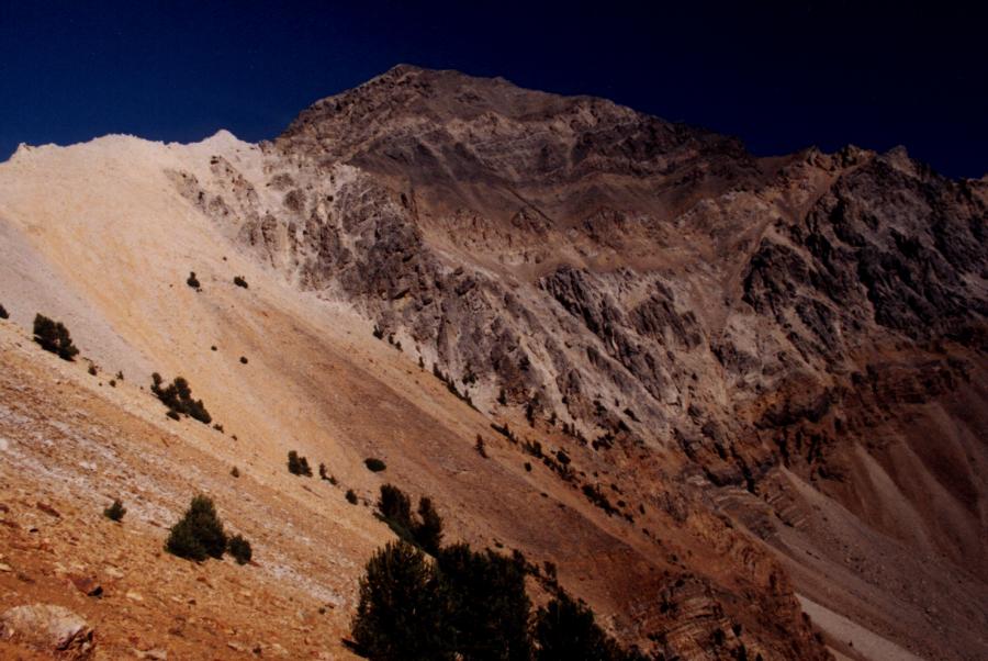 Mt Idaho approaching the saddle and west ridge
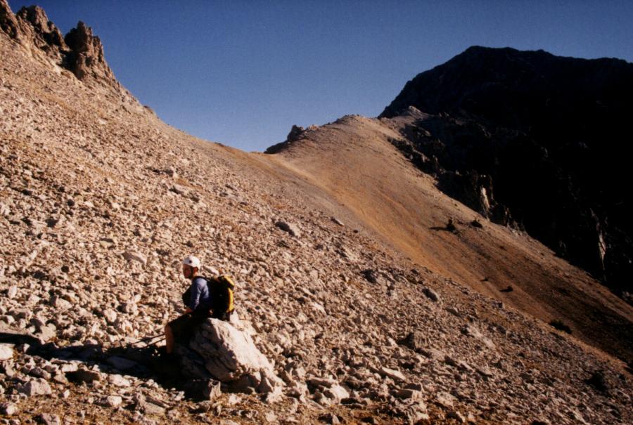 The saddle between Point 11,060 and Mt Idaho
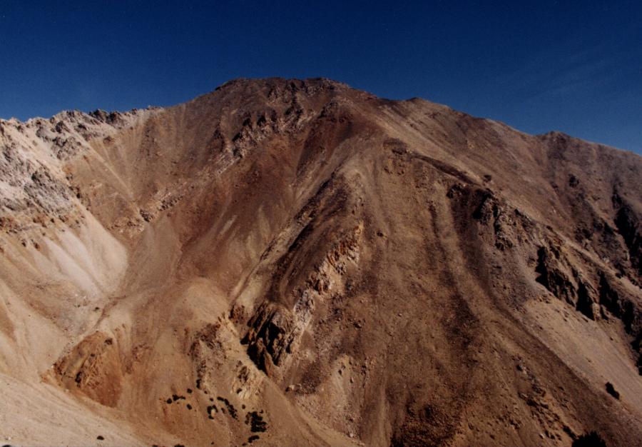 Peak 11,967 from the saddle of Mt Idaho
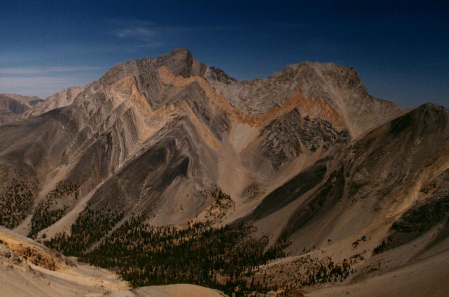 Mt Borah and Sacajawea from the south
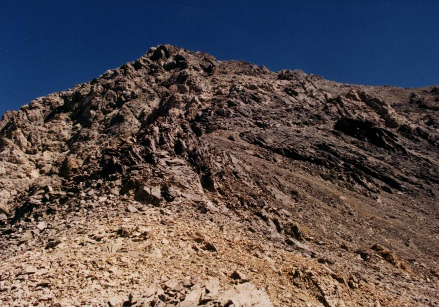 Mt Idaho's southwest face and class 3 scramble
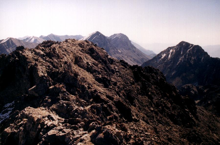 Mt Idaho's summit block looking south to White Cap Peak, Leatherman, and Church
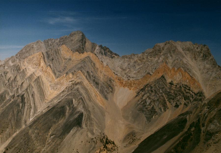 Borah and Sacajawea from Mt Idaho
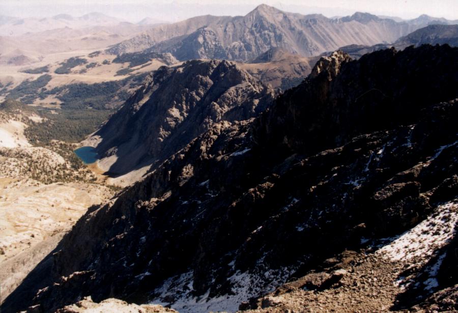 Merriam Lake to the east from Mt Idaho
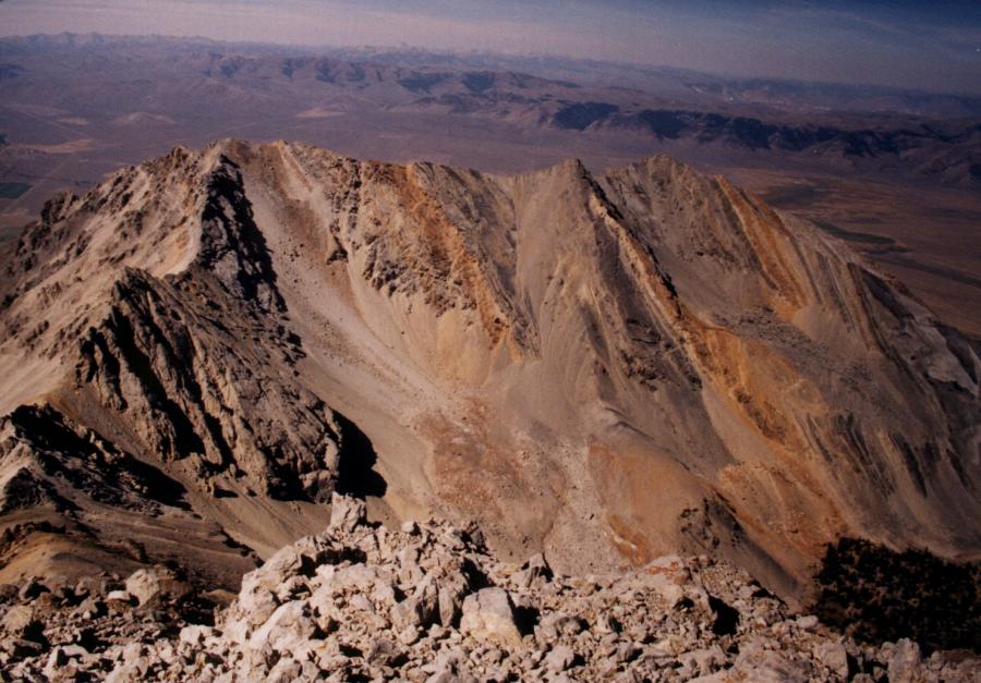 Mount Morrison and Peak 11,305 to the west of Mt Idaho
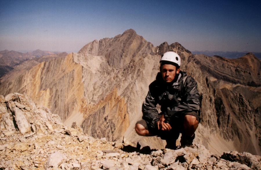 on top of Mt Idaho with Borah in the background
Mount Idaho sit at 12,065 feet and is the 7th tallest summit in Idaho. It's West Ridge is class 3. Tom Lopez calls this route a classic Lost River route.
Photos by Tad Schafer
West Ridge/Southwest Face Class 3
Access is via Elkhorn Creek. Turn east off ID-93 15.9 miles north of Mackay or 0.35 miles south of the junction of 93 and the Big Lost River Road/Trail Creek Road.
Follow the rough road along Elkhorn Creek to its end and park. Follow the obvious trail along the high banks of the creek and cross the creek onto the north side. Continue a short distance and cross over again to the south side. The trail continues climbing the drainage and veers away from the creek bottom ascending a dry gully. The trail enters a thick grove of pines and continues past a boulder field on the right. Follow the Elkhorn drainage to 9200 feet where the creek disappears. Climb the large boulder field to several nice camping sites in the trees.
Follow the dry left fork of Elkhorn creek higher aiming for Point 11,060. Veer right of the rock towers of 11,060 and contour to the saddle between Point 11,060 and Mt Idaho. Follow the west ridge of Idaho climbing over the first rock tower, bypassing the second on the north and the third on the south.
Continue following the crest of the west ridge for 300 feet until a ledge system. Traverse the ledges onto the southwest face and scramble the talus gully to the summit.
On top admire Sacajawea and Borah to the north and Leatherman to the south.