Mount Mansfield
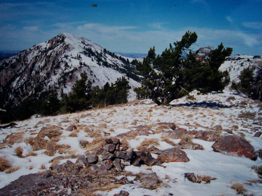 View is NW to Meade Peak. 10/26/01 by Rick Baugher
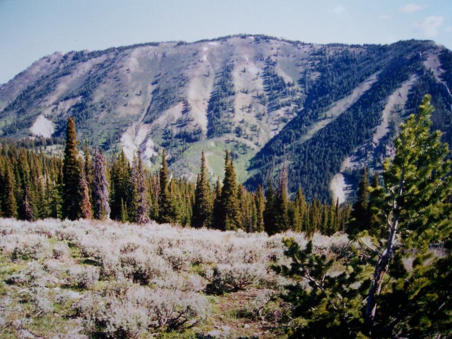 View NE toward Mt Mansfield from the summit area of Mount Peale el 9400'+ on 6/12/02. Photo by Rick Baugher.
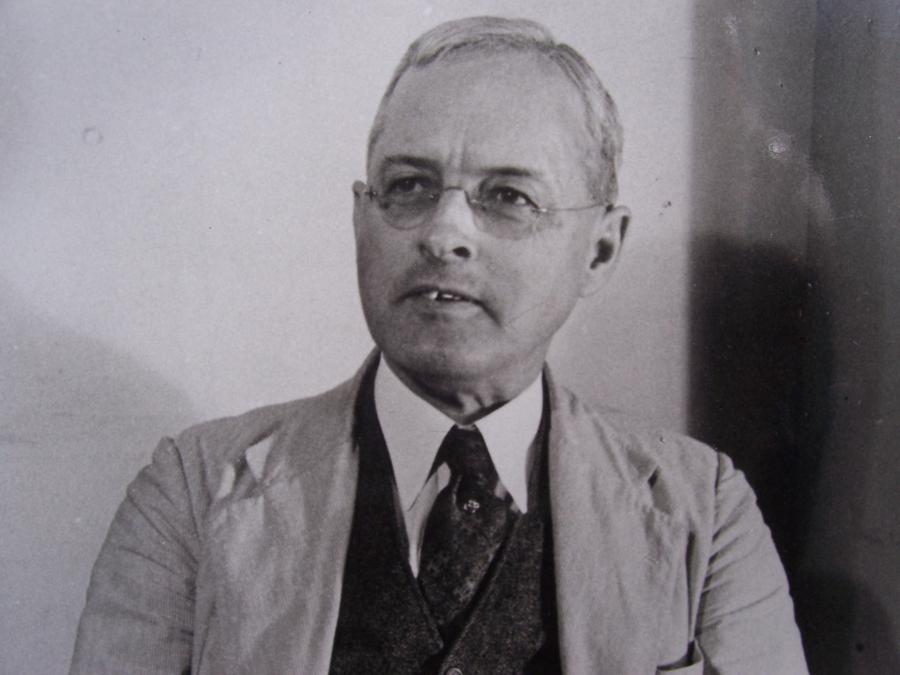 Photo courtesy USGS.
From the Mississippian limestone summit of Mount Mansfield el 9768' the view is NW to Meade Peak. Meade is the parent, and Mansfield's prominence is 606'. Both peaks are on the Caribou County- Bear Lake County line. On 10/26/01 I was unable to locate any sign of prior summit visitation; so slapped together this tiny cairn and left a note, before slip sliding my way down the south ridge.
View NE toward Mt Mansfield from the summit area of Mount Peale el 9400'+ on 6/12/02. While neither of these mountains carry an official name, it is worth remembering the work of the pioneering US Geologists in this section. The first was Albert Charles Peale (1849-1914), Green River Division, Hayden Survey, here in 1877. The giant of SE Idaho geology is George Rogers Mansfield (1875-1948), pictured here, who worked the field seasons of 1909-1916, and periodically thereafter until 1935.
In 1909, three years after production of phosphate began in southeastern Idaho, the US Geological Survey sent a Harvard geology instructor, George Rogers Mansfield, to study and report on the area's geology and geography. His work at the time was of no little consequence, for the results would determine which lands the federal government would withhold as a phosphate reserve, and which would be thrown open to settlement. Seven topographic maps were made and Mansfield had a hand in naming many of the mountain features. Photo courtesy USGS.