Pleasantville Hills
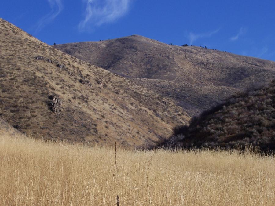 John Evans Peak, photo by Rick Baugher.
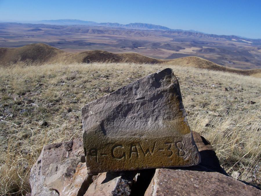 Summit of Curlew, photo by Rick Baugher.
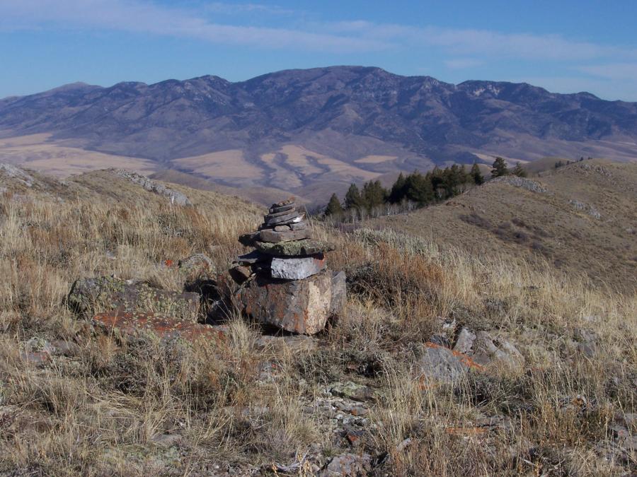 Summit of Morgan Jones, photo by Rick Baugher.
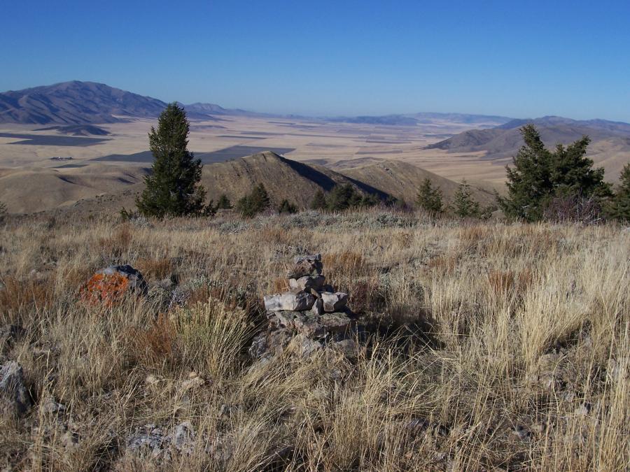 Arbon Valley, photo by Rick Baugher.
Please don't feel geographically challenged if you can't find the Pleasantview Hills. This Great Basin mountain range is located in Oneida County Idaho. Virtually all of its 12 mile length is managed by the BLM and State of Idaho. This is classic cattle country; yet on a sunny, inviting November day the score was Cows-0, Other Humans-0, Bull Moose-1. The scenery consists of sage and grass slopes, aspen and scattered timber draws, and lots of big sky. There's a good network of lightly travelled 4WD roads, turning all 7 of the 7000' peaks into short hikes. The challenge is to identify the peaks, then to creatively link up several summits. While none of the Pleasantview Hills are named on the map, here's my list. In each case the names correspond to a nearby named geographic feature:
En route to West Elkhorn the Idaho fescue is chest high in Wood Canyon. This view is NE to John Evans, highpoint of the Pleasantview Hills.
Making it to the summit of Curlew in 1938 was CAW who clawed his initials into sandstone. View SW to Curlew National Grassland. In the distance- Raft River Mtns, Utah, and Black Pine Mtns, Idaho.
My cairn placed on the summit of Morgan Jones. View NE across Malad Valley to Elkhorn Peak in the Bannock Range.
From Buist, a summit view N down Arbon Valley toward Snake River Plain. Deep Creek Peak on left.