SnaRR - The Idaho Side
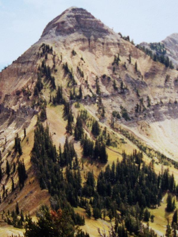 Mount Baird el 10025'. photo by Rick Baugher.
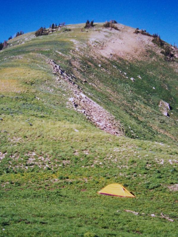 View N to Vacation Peak el 9900' on 7/9/02 from my camp in the col , photo by Rick Baugher.
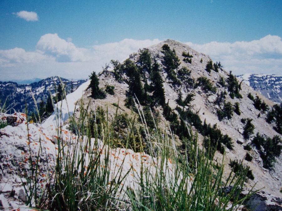 Needle Peak el 9449', photo by Rick Baugher.
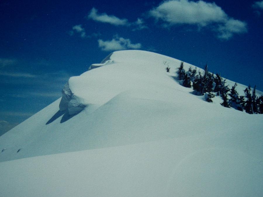 View S to the Baldy summit on 4/27/98. This is the easiest part of the descent. From here things go downhill fast., photo by Rick Baugher.
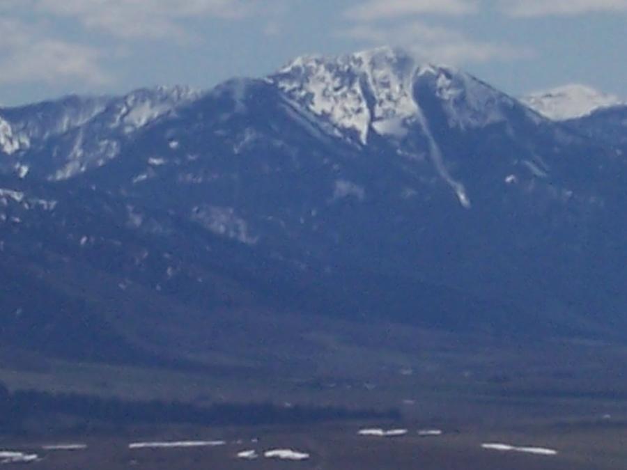 View SE from Kelly Mountain, about 25 miles away, on 5/8/09. Photo by Rick Baugher.
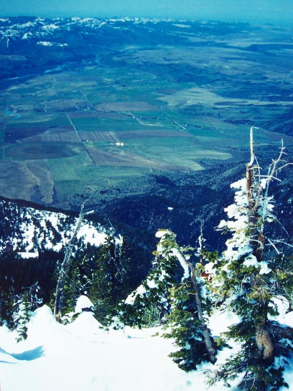 View westward to Swan Valley and the Weeks Ranch, with the Idaho Falls-Rigby area on the horizon. This is at the head of Baldy Couloir, 4/27/98. Photo by Rick Baugher.
SnaRR, the Idaho side
View south to Mt Baird from Waterfall Horn el 9722' on 9/3/00. The 1983 ascent went up the standard WNW ridgeline on right. The descent went down the N ridge (facing the camera), then followed the treeline margin into the big bowl on right. Even in June the snow depth in this scooped out bowl was probably 50' deep.
A rarity in the Snake River Range, Needle Peak el 9449' showed no sign of prior summit occupation on this 6/29/97. A cairn and note were placed. From here there are good views of Palisades Reservoir and Star Valley. At your feet is the massive landslide scar in Blowout Canyon. The maps incorrectly show the 9200' elevation 1/4 mile north of here to be Needle Peak.
Not long ago, my friend Larry Fish, an accomplished distance runner/ biker/ skier, and I were exchanging stories. Larry related how his party had skied Baldy in the mid 80's, but wasn't sure of the exact date. Now, can you understand why I shy away from the term 'first ski descent'? Let's just say Larry and I were early.