White Knobs Traverse
 Lime Mountain and unnamed lake
 The 4wd road to Stewart Canyon
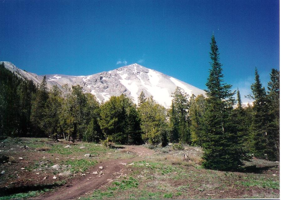 The ATV trail that leads over the pass to the Burma Road and Copper Basin
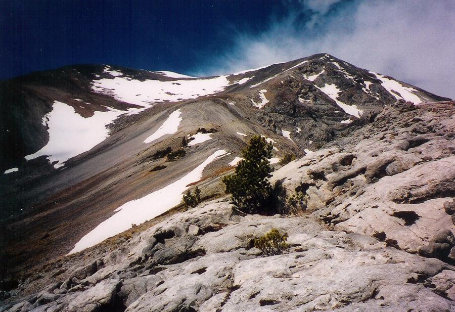 East ridge to Redbird Mtn
 Approaching the saddle of Redbird Mtn
 Redbird and Shelly from Lime Mtn
 On the summit of Shelly with Redbird, Lime, and Cabin Mtn in the background
 Lime and Cabin Mtn
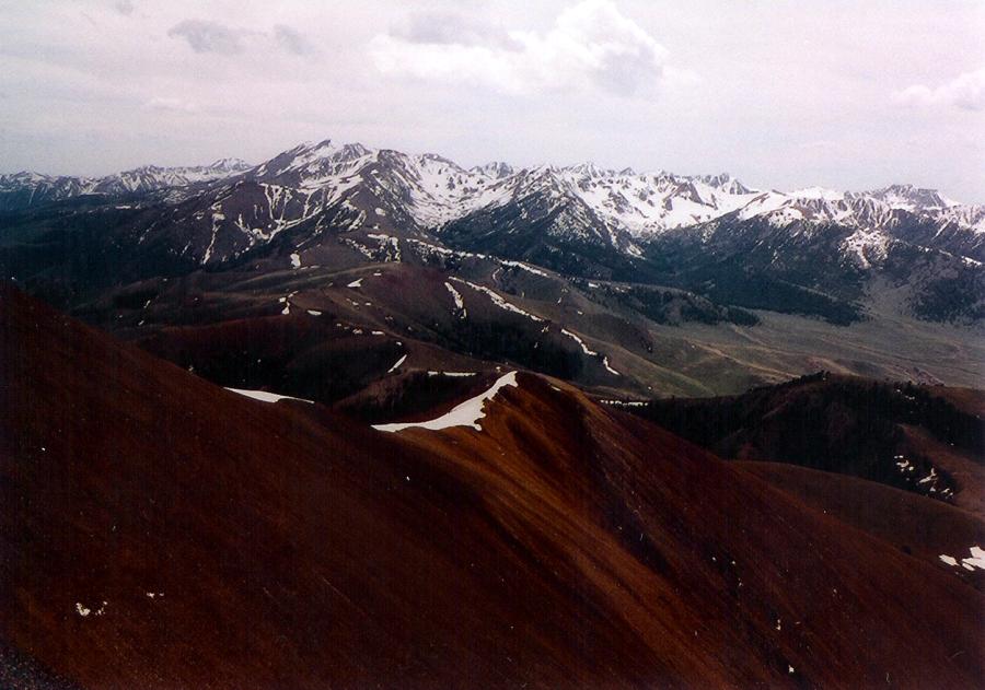 Copper Basin from the White Knobs
 Copper Basin from the White Knobs
 Looking toward the Lost Rivers from Cabin Mtn
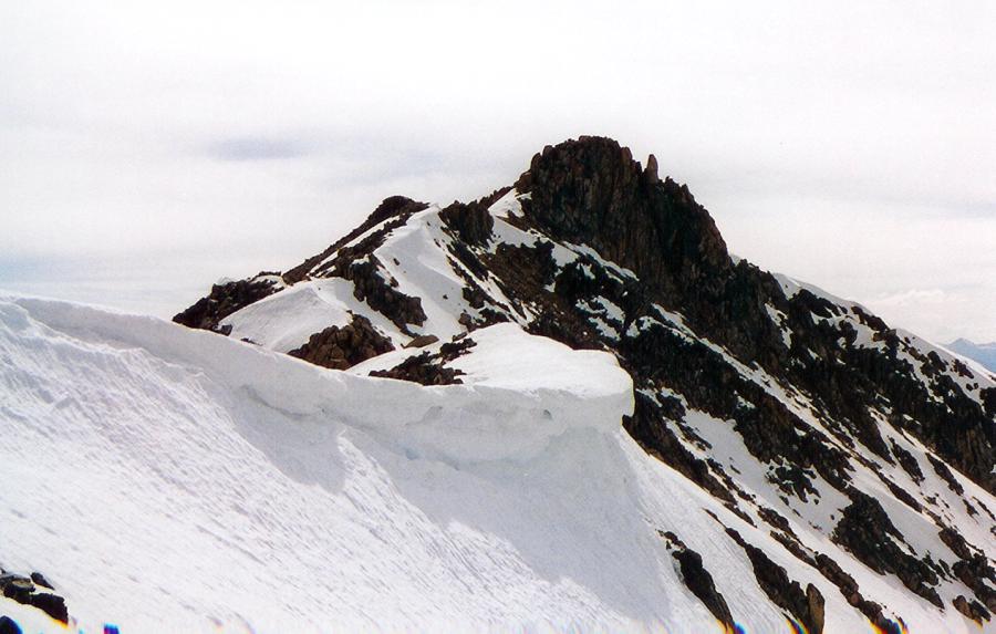 Cornice below Lime Mtn
 on top of Mt Idaho with Borah in the background
Looking toward the Lost Rivers from Cabin Mtn
on top of Mt Idaho with Borah in the background
Looking toward the Lost Rivers from Cabin Mtn
 Lime Mtn and unnamed lake
 Lime Mtn
Shelly Mountain is 11,278, Redbird Mountain is 11,273, Lime Mountain is 11,179, and Cabin Mountain is 11,224. The traverse described here is all class 2 except for Cabin which is class 3.
Photos by Tad Schafer
White Knobs Traverse
Access is via the newly routed Alder Creek Rd from the Mackay side. Turn west off Highway 93 23.9 miles north of Arco or 2.5 miles south of Mackay. Follow the signs for Alder Creek taking a left at a major junction and then a right and the next junction a 1/2 mile later. The road passes by a ranch which was been rerouted south around the ranch. In the past the Alder Creek Rd bisected the ranch and permission was needed to cross the private property. The road soon narrows and climbs through aspens and a few switch backs. 4wd is advised from this point on as the road becomes rocky and rough. At a junction that leads right to the Mackay White Knob mines, turn west and cross the creek. Park at a meadow. Once a jeep road provided access to a mine high on the east ridge of Redbird Mountain, the road is now an ATV trail and no wider for a vehicle. So, the meadow provides a good parking spot and jumping off point.
Follow the ATV trail past an old cabin for almost 2 miles to a junction. The right fork leads north up over the 10,000 foot pass that divides Stewart Canyon from the Corral Creek drainage. Take the left hand fork that climbs steeply to the east ridge and a mine shaft marked on the topo. Once on the east ridge, head for the saddle between the 2 summits of Redbird Mountain. The southern summit is the highest.
Once on top of Redbird follow the connecting ridge to Shelly. Views to the southeast are of expansive Copper Basin and Antelope Pass. To the north is the entire Lost River Range from Dickey and Borah to King's Mountain. At this point backtrack to Redbird and then onto Lime Mountain. The terrain is easy class 2. We saw a small herd elk attempting to cross over Redbird Mountain.
Lime is a broad summit whose north ridge descends to the saddle between the 2 basins and the trail that connects Corral Creek to Stewart Canyon. We saw footprints lead down the ridge toward the saddle. This would provide a shorter traverse and loop. We chose to continue onto Cabin Mountain and were rewarded with a short, interesting class 3 climb to the southern most summit, which is the higher of the two summits. We retraced our route to a ridge that drops down to an unnamed lake. At the lake, we found the trail and followed it up over the 10,000 foot pass. The trail was obviously widened to accommodate ATVs. We found metal stakes and chain link fence material at the pass. We completed the loop by following the ATV trail past the unnamed lake at the head of Stewart Canyon, crossing the creek, to the junction that leads to east ridge of Redbird and then back to the vehicle at the meadow.